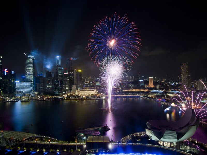
Elizabeth got soaked somewhere in the middle of Taal Lake, which was not in the plan but turned out to be unavoidable once the lake started running in short steep waves that came over the bow of the pump boat in sheets. The boat was about twelve feet long, the plastic awning covered perhaps a third of the passengers, and the boatman appeared entirely unconcerned, which was either reassuring or evidence that he had seen this before and knew there was nothing useful to do about it. Ashley and I held a piece of plastic sheeting over Elizabeth, which helped in a theoretical sense. The crossing took twenty-five minutes. By the end of it Elizabeth had stopped laughing at herself and started laughing at the inadequacy of the sheeting operation, which seemed like a healthy development.
Nobody had told me lakes could be choppy. In retrospect this is obvious. Taal Lake has a surface area of roughly two hundred and thirty-four square kilometres and is exposed to the winds that come off the Tagaytay Ridge to the north, producing wave action in ordinary conditions that a twelve-foot pump boat has to work through rather than over. The lake occupies the caldera of a much larger ancient volcano, a structure that geologists call Taal Caldera, formed perhaps five hundred thousand years ago by eruptions of a scale that makes everything that has happened since look like a footnote. Inside that caldera the current Taal Volcano island rises from the lake’s surface, and inside the volcano island there is a crater lake of its own, pale and sulphurous and hot in places from the geothermal activity below, a nested geography of destruction and reconstruction that has been operating continuously since before humans arrived in the Philippines to observe it.
The eruption of 1754 lasted several months and produced lava flows that destroyed multiple towns on the lake shore.

Share